Paradise River to Summerland
July 26, 2016
20.6 miles
I'm beat, today the Wonderland Trail kicked my butt! I knew it was going to be long and hard. I even tried to change my permit to Indian Bar instead of Summerland but there was no room. At least tomorrow should be an easy glide to finish at White River.
The day started out up hill to Reflection Lake. It was foggy and some reflection though it looked pretty cool. Next was a steep descent to Maple Creek. On the way down I saw the couple from Florida, Colleen and Brent that I had met at Mystic Camp.
 |
| Reflection lake |

|
| Like a Garden Path, Just off Stevens Canyon Rd, East of Louise Lake |
 |
| Martha Falls |
From Maple Creek, it was a nice cruise to Nickel Creek. After Nickel Creek, there was a good climb up to the Cowlitz Divide. I grabbed about half a liter of water on the way up.
Later on I wished I grabbed some more. I should have stopped at Nickel Creek but decided to finish the climb before resting. It was humid out and I was sweating a lot on the climb. By the time I finished it, I was soaking wet, even the tips of my collar were dripping.
 |
| Stevens Creek |
Once on the divide, I took a break for a few at the Cowlitz Divide Trail junction with another man I had just met on the trail. His name is Ray and if I remember right, he is from Ohio. When we got up to hike again, there was an actual puddle of sweat on my pad. Wow!
The hike along the divide was much harder than I thought it would be and I was very tired and about out of water by the time it started to descend towards Indian Bar. I was starting to fantasize about calling it a day at Indian Bar. I knew that was where Ray was heading and I debated whether to hang out until he arrived and see if he'd mind if I camped with him. Finally there was a stream of snow melt and I was able to drink a bunch of water.
 |
| Looking Back Towards Mt. Adams |
 |
| Looking Down to Indian Bar |
Once at Indian Bar, I stopped for food and mixed some Gatorade. There's a virtual geocache at Indian Bar and part of it is to go up the hill to where the toilet is and get a picture. Let me just say the view of Mt. Rainier at the toilet is anything but crappy.
 |
| Crappy View? |
After the food, water, and rest at Indian Bar, I was still tired but figured I'd just buck up and continue to Summerland. It was only about 4.5 miles anyway and I had plenty of light. I headed off at half past four with plenty of water after not having enough earlier.
 |
| Creek at Indian Bar |
 |
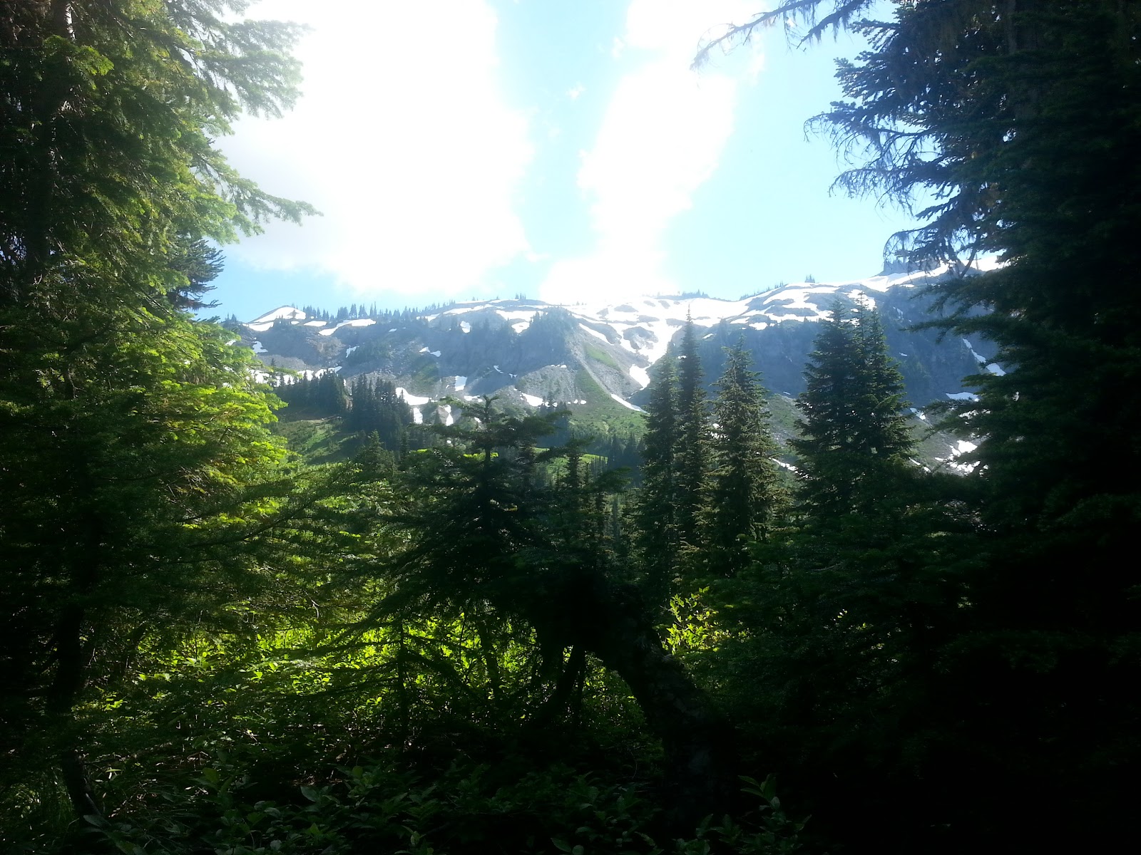
| Above Indian Bar |
The climb up to Panhandle Gap from Indian Bar was very grueling and I tried to keep things as easy and steady as I was able. The day had been warm but as I ascended into the snow fields it cooled off dramatically. First the snow fields were small but there ended up being several longer that I had to cross. Just past Panhandle Gap there was a very steep snowfield I had to go across and down. It seemed really sketchy and I stood there for a few minutes mustering the nerve to cross it. Thankfully the snow was soft and I managed without incident. From there, the trail descended down to Summerland, so the snow diminished. Near Summerland, there was one more large snowfield with a full creek flowing underneath. I went across that part of the snow as quickly as I was able.
 |
| The Climb Into Snow |
 |
| Another View Back at Mt. Adams |
 |
| The First Large Snow Field I Crossed |
 |
| Last Snow Field to Summerland. Note the River Flowing in Center |
Once at Summerland, I stopped at the creek to get water for the night before heading into the camp. I started the morning at 7:40 AM and made it to camp at 7:30. It was a long, tiring day.
While setting up camp, a black tail doe browsed herself right past. She didn't seem to mind me when I talked to her. After camp was set up, I decided to wash my calves off as they were very dirty from the day's hiking. I wished I thought about it when I was there on my way in.
 |
| Doe Visiting My Camp |
I was tired and hungry from the long day, but I wasn't able to eat all of my dinner. I did eat most of it, but lost my appetite before I was done. After camp chores and dinner, I'm getting to bed late but I have a short day tomorrow, so I get to sleep in and not rush to get on the trail tomorrow.