December 27, 2014
Start: Gila River – Kelvin Bridge (N33° 06.098 W110° 58.479).End: Passage 16, close to Gila River at mile 15.5 (N 33° 06.674 W 111° 08.324).
Miles: ~15.5.
I met Craig at the Park and Ride at Bell and I-17 about quarter past seven. From there we drove to the Picket Post trailhead with a quick stop at a Quik Trip where I bought a couple of cinnamon rolls. I parked my truck at Picket Post and then Craig drove us to the start of passage 16 at the Gila River– Kelvin Bridge. After a few minutes getting everything ready, we started the hike at 9:23, a bit earlier than I had hoped for.
After about ten minutes, we reached what I assume is a new trailhead with parking above the Gila River. We walked into the parking area and checked out the view before passing through the Arizona Trail gate and continuing along the trail.
 |
| Trail Gate |
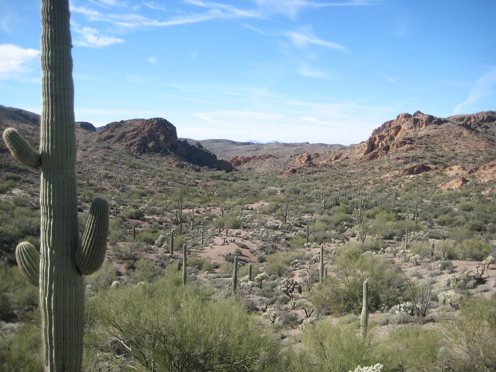
The day’s hiking was easy and very enjoyable. The tread was good and was mostly level with some undulations as it wound in and out of drainages along the Gila River. After about an hour we reached the survey mark signifying the completion of the Arizona Trail on December 16, 2011. We stopped and took some pictures. There was a nice view of a train trestle crossing the Gila from there too. Twenty minutes later, the trail had brought us fairly close to the trestle. Craig has a keen interest in trains so I took a picture of him with the trestle.
 |
| Official Trail Marker |

About an hour later, at twenty to eleven and a bit more than six miles of hiking, we stopped for our first real break of the day. I took my boots and socks off and we had some food and drink and just relaxed and enjoyed the day. After close to an hour we were back on the trail.
From there, the trail continued along the Gila River canyon, winding in and out of the drainages with some mild ups and downs. About an hour later, the canyon widened and the views opened up and we were able to see farther.


When we reached Walnut Canyon, we stopped for another break. Again, we had some food and drink and, as usual, I took my boots and socks off. There was a carsonite trail marker lying on the ground, so I went and set it back upright. I didn’t do such a great job though, as it fell back down a bit later from a gust of wind.
After sitting around for an hour we were back on the trail. The trail moved closer to the river and we walked through the shade of mesquite groves. The trail joined a road and after about fourteen miles, we passed some old, large, and rusted metal objects. They were probably for some sort of mining operation and had been left in a wash. We spent a few minutes contemplating that and then continued on. A few minutes later, I noticed a few javelina off towards the river. I’m not sure how many there were, maybe four or so.
 |
| Mesquite Grove |

 |
| Old Mining Equipment |
At ten of five we started to look for a place to camp with river access. We tried a few places and weren’t finding anything so we continued on a bit farther and found a spot at mile 15.5. We dropped our gear right at the trail and grabbed our pumps and went to the river to filter water for dinner and breakfast. River access was easy down a wash. Once we had water, we went to set up camp and decided to move to the other side of the wash at a bend in a road. It was getting dark by then, and it cooled off dramatically after sunset.
When I got my stuff out for dinner, I found out that I didn’t pack my spork. I didn’t have any eating utensils with me. Craig only had his fork but he did have a small plastic spatula that I was able to use. One edge was serrated and that made it difficult to use without cutting the inside of my cheek but I made do; it was better than nothing.
After dinner, with the cold, we decided to head in the tent and crawl into our sleeping bags.
December 28, 2014
Start: Passage 16, close to Gila River at mile 15.5 (N 33° 06.674 W 111° 08.324).End: Passage 17, mile 1 (N 33° 00.398 W 111° 00.128).
Miles: ~10.7.
The night was cold! I had to get up in the middle of the night (one of the hazards of going to bed early) and went to get a drink of water, but the top of the bottle was solid ice. I wasn’t cold in my bag but I wasn’t cozy and snug either and didn’t sleep the best.
We woke up late and were slow getting moving. When we got up, the tent was covered with thick frost. It was a good morning to keep hands in warm pockets. Since the water was cold, it took a long time to heat it up for breakfast. The canister stoves don’t work the best cold either so that didn’t help. Eventually the water did boil and we were able to get something warm inside of us.
Before heading out, we had to filter enough water to last through the rest of the hike as there wasn’t a reliable water source on the trail today. The Gila River was really muddy and we were lucky to be able to pump a quart of water before the filter clogged and it had to be opened up and cleaned. Eventually we got the water we needed, but it took a long time. Thankfully we both brought a filter. We probably should have gone to nearby Red Mountain Seep instead.
 |
| Gila River |
It was almost half past ten by the time we got on the trail. It’s a good thing we didn’t have an aggressive schedule for this hike. In less than a half mile the trail turned north, away from the Gila and started climbing. Not much farther there was a trail information sign where it met Rincon Road. We stopped for a couple minutes here to look at the signs and take some pictures, but mostly to catch our breath.

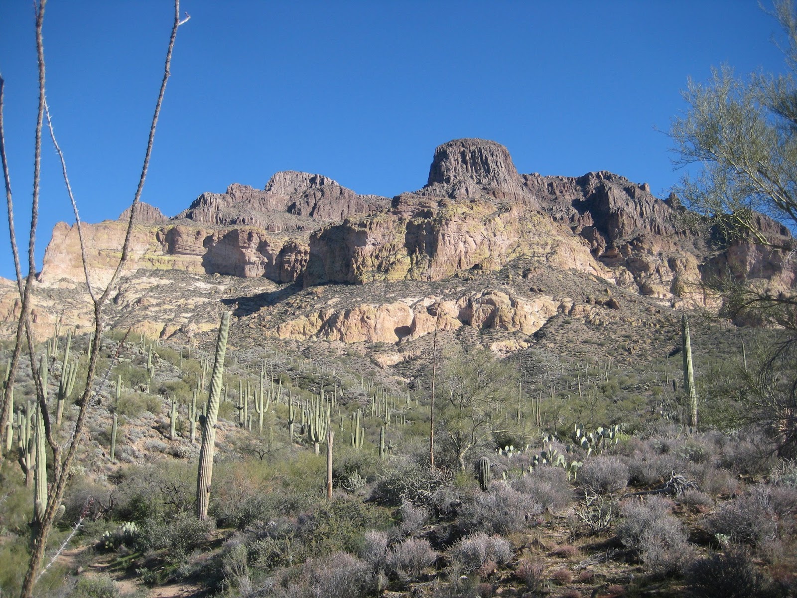
The trail continued climbing and a couple miles later we had nice views of Dale’s Butte (AZT nickname for a large unnamed rock spire) as the trail skirted around a valley to the other side where it started climbing some more.

 |
| Dale's Butte |
The morning had been cool but the climbing warmed us up and after two hours walking we stopped for an hour lunch break where the sun was heating the slopes. That was the most comfortable part of the day as a thin layer of clouds moved in later in the afternoon and cooled things down.

After lunch, we continued climbing and eventually the trail crossed over a ridge and followed it down on the other side. I went off trail a bit to look over the ridge and see where we had spent a large portion of the day hiking. Another twenty minutes later, just past three, we stopped for a half hour break near an interesting rock sticking up below the trail. It was getting cold so we put on some more clothes to keep ourselves from getting too chilled.


 |
| On the Ridge, Looking Back Where we Hiked |
 |
| On the Ridge Looking into Martinez Canyon |
 |
| Interesting Rock |
 |
| Craig Enjoying the View |
After the break, the trail descended steeply a couple hundred feet then traversed down the side of a hill before crossing over to the other side and climbing up to a gate marking the end of passage 16. Passage 17 starts off along a road for a short distance before turning into single track, then descends down to a wash. It was only half past four but it seemed like a good place to camp.
 |
| Passage 16 Behind, Passage 17 in Front |

There were a lot of cow pies and such in the flat areas above the wash and with no chance of rain, we decided it would be much more comfortable to pitch the tent on the sand in the wash. After setting up camp, we gathered wood for a campfire. It was calm out and cold, so an evening with the campfire was a perfect way to end the day.

December 29, 2014
Start: Passage 17, mile 1 (N 33° 00.398 W 111° 00.128).End: Picket Post TH.
Miles: ~10.5.
We expected an easy day to Picket Post so we weren’t in a rush to get out of our beds. When we finally arose, the tent was covered with a thick layer of frost which we shook off as best we could when breaking camp. We were finally on the trail about twenty of ten.
The day started out with a climb for the first half a mile. Soon after we crested the top and started heading downhill, Picket Post came into view. Our target would reveal itself off and on throughout the day.
Not quite a mile after we started, we passed through a fancy Arizona Trail gate and then traversed into a canyon we would follow to Telegraph Canyon road. The tread was great and I really enjoyed this part of the trail as it followed a wash.


After close to five miles, we stopped for an hour break at the bottom of a dip in the trail where it crossed a wash. I took off my boots and was eating some food when Craig pointed out a coyote that was running off across the hill just up the trail from us. A minute or so later a couple of mountain bikers came down the trail. We figured the coyote was running from them. We were hanging out in the middle of the trail, so we had to move a little bit for them to get by. They stopped and chatted for a minute before continuing on.
After not seeing another soul on the trail the first two days, we started seeing more people as we neared picket post. Maybe a mile after our break, we met a couple from Utah out riding bikes. The trail was rockier than they would prefer. Then, a little later, we met a man coming up the trail. He asked us where the trail went and I replied, “Mexico.” That got a good laugh from all of us. We passed another group of people and then a group of equestrians came up behind us. We let them pass but the trail got a bit rougher and we had to slow our pace a bit to keep enough behind them not to walk in the dust the horses stirred up.
 |
| Horses Ahead |
A little over a mile from the trailhead, we stopped for Craig to find geocache, LumpyTrail. I had found it four years earlier so I stayed by the trail and relaxed. There were great views of the Superstitions and of Picket Post. After that, it was an easy walk to finish the hike. A couple people turned to hike up Picket Post as we went by and shortly after that, we were at the trailhead. Some people were right there, so we had them take a picture of us by the trail sign, then we went to my truck and celebrated finishing the hike with a beer. The couple from Utah came back and were parked right next to us so we talked to them for several minutes as we rested and got ready to go get Craig’s truck.
 |
| Picket Post |
 |
| Superstitions in the Distance |
 |
| All Done |
When we were leaving Picket Post, we stopped to find geocache, Leave no Trace. It was a short multi-cache. Once we found it, we went and got Craig’s truck, then stopped at the Ray Mine viewpoint to find geocache, Mine, all mine. It’s incredible how immense the mine is. The huge dump trucks looked like little Tonka Toys.
 |
| Ray Mine |
No comments:
Post a Comment